Computer vision · Aerial imagery
Spacement PVExtent
Rooftop photovoltaic segmentation and vectorization from aerial orthophotos. The project studies how segmentation models transfer to current imagery in North Rhine-Westphalia.
The research record includes model comparisons, spatially separate evaluations, annotation protocols and documented failure cases.
- Implementation
- Python · PyTorch
- Code license
- Apache 2.0
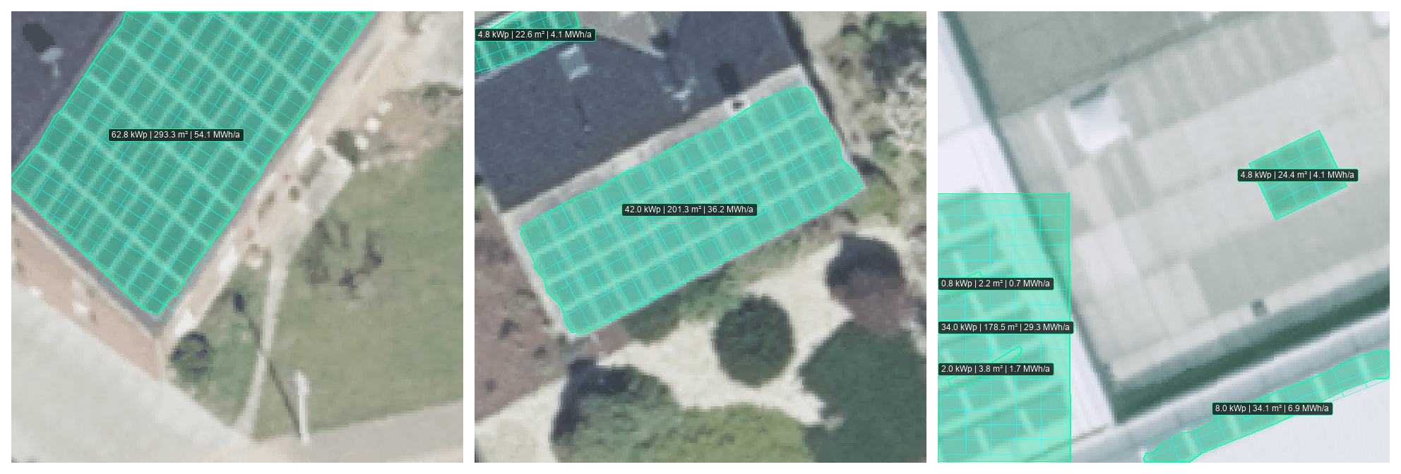
Vidda (V5) vectorization on three PV4GER test crops. The right crop includes a skylight incorrectly counted as a PV array. Roofs are assumed flat without a surface model; capacity and yield are estimates.
Figure provenanceImagery: GeoBasis NRW/openNRW · dl-de/zero-2-0